You may have thought that without becoming an astronaut, you’d never get to see the surface of Mars. Over the years NASA’s Curiosity Rover has tried to help by giving us loads of snapshots of the surface. We’ve even had a selfie from the Rover itself:

Now you can get an even more immersive experience with a 360 degree ‘Google Maps’ style image from Curiosity. Take a look at the video below – you’ll need to drag the image around!
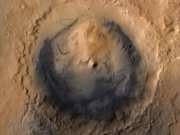
The image shows the downwind face of the Namib Dune, an 16 foot rise the Rover is currently exploring on its way to Mount Sharp, a high peak within the famous Gale Crater:
Once the Rover reaches Mount Sharp, it will begin to explore the slopes to find out what it can about the planet’s history. To learn more about the Curiosity Rover and its mission, check out NASA’s mission page here.

